Guest Post: Ruth Elayne Kongaika
I have been on some large modern ships that have many sophisticated instruments to keep them on course. This is very different from the non-instrument navigators I relied on in the little islands of the South Pacific. These helmsmen learned to be finely attuned to nature. Even the color of ocean and the shapes of clouds have meaning to seafarers who have observed them for many years.
I admired how the navigators of the miniscule boats had an innate sense of where they were from the feel of the waves or swells on their hands, the direction of the wind, as well their position in relationship to the stars in the sky.
 The celestial bodies definitely played an important role in ancient ocean navigation. Stargazing is almost becoming a lost art in the Pacific. Fortunately, certain individuals are inspiring many of the younger generation to study the stars again. There are also non-profit organizations, like the Hawaiian Astronomical Society, The Polynesian Voyaging Society, as well as others.
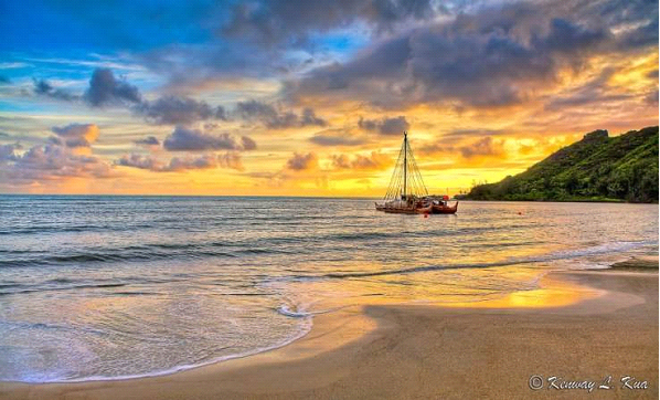
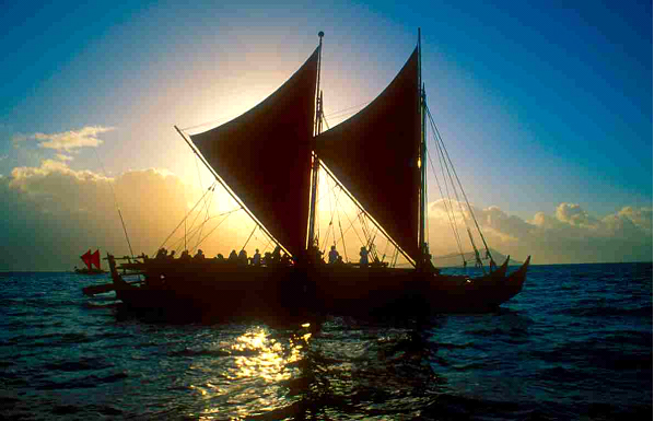
I recently wrote about the Polynesian Cultural Center. One of the newest displays there is a locally carved double-hulled canoe called the Iosepa. It is seaworthy, and it is taken out by experts who train students from the Brigham Young University – Hawaii in the art of navigation.
In the 1970s, The Polynesian Voyaging Society constructed a double hull canoe and named it the Hokulea. As a young man, Nainoa Thompson was taught traditional navigation by Mau Piailug, a Micronesian master. He became well acquainted with the stars and the other natural signs nature gives. Nainoa spent hundreds of hours studying the stars and the sky in a planetarium at Hawaii's Bishop Museum. I have recently been to this museum, and it is very impressive. With all of this knowledge, Nainoa was able to make a historic voyage from Hawaii to Tahiti and back again without the use of modern-day navigational tools.
 There is one main star the navigators look to, the one that does not move. It is called Polaris, and this beacon light has directed many mariners to safety over the ages. By learning where the other stars rise and set in relationship to Polaris, the navigator can steer his boat with confidence. The celestial bodies in the heavens provide direction no matter where you are. This also includes the sun, the moon and the stars.
Pointer Stars
There are also pairs of stars in the heavens that cross the meridian at the same time. These are called pointers because they always point to either the North or the South poles as they arc across the sky. Most of us are familiar with the Big Dipper, but there are several others that can also point the way.
Signs of land approaching can be found in the amount of ocean froth, number of birds, and the presence and colors of clouds.
 My scariest experience was traveling in a tiny wooden boat as a navigator was attempting to get us out into the open ocean without hitting the reef. None of us wore life jackets, and the navigator actually stood on the front of the boat so he could see better. All of a sudden he disappeared into the ocean, having lost his balance. I thought we were all doomed, until he reappeared and continued on his navigation as though nothing had happened. I owe my life to several Polynesian ocean guides.
Ruth Elayne Kongaika was raised in the mainland, USA, and has been traveling in the South Pacific for the past forty years. She tries to capture the beauty of the islands through her photography, painting and writing. She has a blog which shares some of her art and favorite subjects at:
email: kongaikr@byuh.edu


Thank you phagemann for your feedback. Glad you liked this article. I am sure you know much better than I about navigating south of the Equator. Safe travels.